
Five years ago we published a diagram of cycling routes in and around Durham city in the style of the London Underground map. It highlights the gaps in the network, by colour-coding all the links according to their safety. Blue links are the safest, red the most dangerous, and some useful missing links are shown as grey dashed lines. The most dangerous junctions are colour-coded too, with a red circle inside the black.
Last summer we produced an updated version of the tube map which includes some upgraded links:
- link from Pity Me roundabout to the Arnison changed from red to dark blue, with the provision of wand-protected cycle lanes along the length of Rotary Way
- part of the link from Framwellgate Moor to Pity Me coloured dark blue, because of the wand-protected cycle lanes on this section
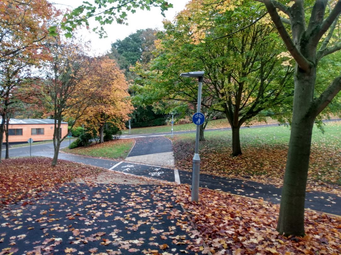
- link from Mount Oswald to the University science site coloured dark blue in place of orange, with the opening of the off-road path through the university campus parallel to South Road.
When we originally launched the map, at the time of the County Council elections in 2017, we suggested asking the election candidates to get behind the Space for Cycling three-point pledge to
- Plan – Plan a full network of cycle-friendly routes that allow people of all ages and abilities to cycle anywhere for any purpose
- Invest – Actively seek the funding to implement the network and invest a minimum of 5-10% of the local transport budget in cycling
- Build – Build the network using the most up-to-date high quality design standards
The planning for Durham City has now been done, at a superficial level. The Local Cycling and Walking Infrastructure Plan provides the basis for seeking the investment. But we still need the Council to commit to reallocating existing budgets, and using opportunities from the road renewals programme to further the development of the network, as well as bidding for central government funding. And we still see proposals coming forward which do not comply with the appropriate standards, often without any good reason.
In the five years since 2017 only three of the links have been upgraded. Even if the Council concentrates on the red links, of which there are thirty, at the current rate of progress it will be another fifty years before they are all upgraded!
DBUG, the university’s bicycle user group, has done a video showing the new cycle route that goes from Mount Oswald down to the Whitechurch junction, all off-road: https://youtu.be/VkLBhofIWAA